Trailseek
Tracks
Record where you go, then review and manage your tracks.
Record
- Tap Record to start a track. A pill shows time and distance, and the line draws on the map as you move.
- Tap Pause and Resume as needed.
- Tap Stop, then give the track a name and color and save it.
Recording continues with the screen off if you allow Always location. While Using is the default. Elevation uses the barometer when your device has one, and falls back to GPS otherwise.
Review
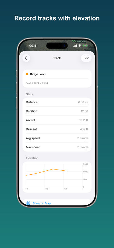
Open Tracks from the lists menu to see your saved tracks with date, distance, and duration. Swipe a track to show it on the map, or open it for its full stats, an elevation chart, and Show on map. You can rename, recolor, and delete tracks, and show more than one at a time. A track you just recorded stays on the map until you hide it here.
Export
Share or export a track as GPX from its detail view. See GPX import and export.