Offline GPS · iPhone · iPad · Apple Watch
Offline GPS for hiking and backcountry travel — topographic and satellite maps, tracks, waypoints, and navigation. Your data stays on your device.
Requires iOS / iPadOS 17 or later · watchOS 10 or later
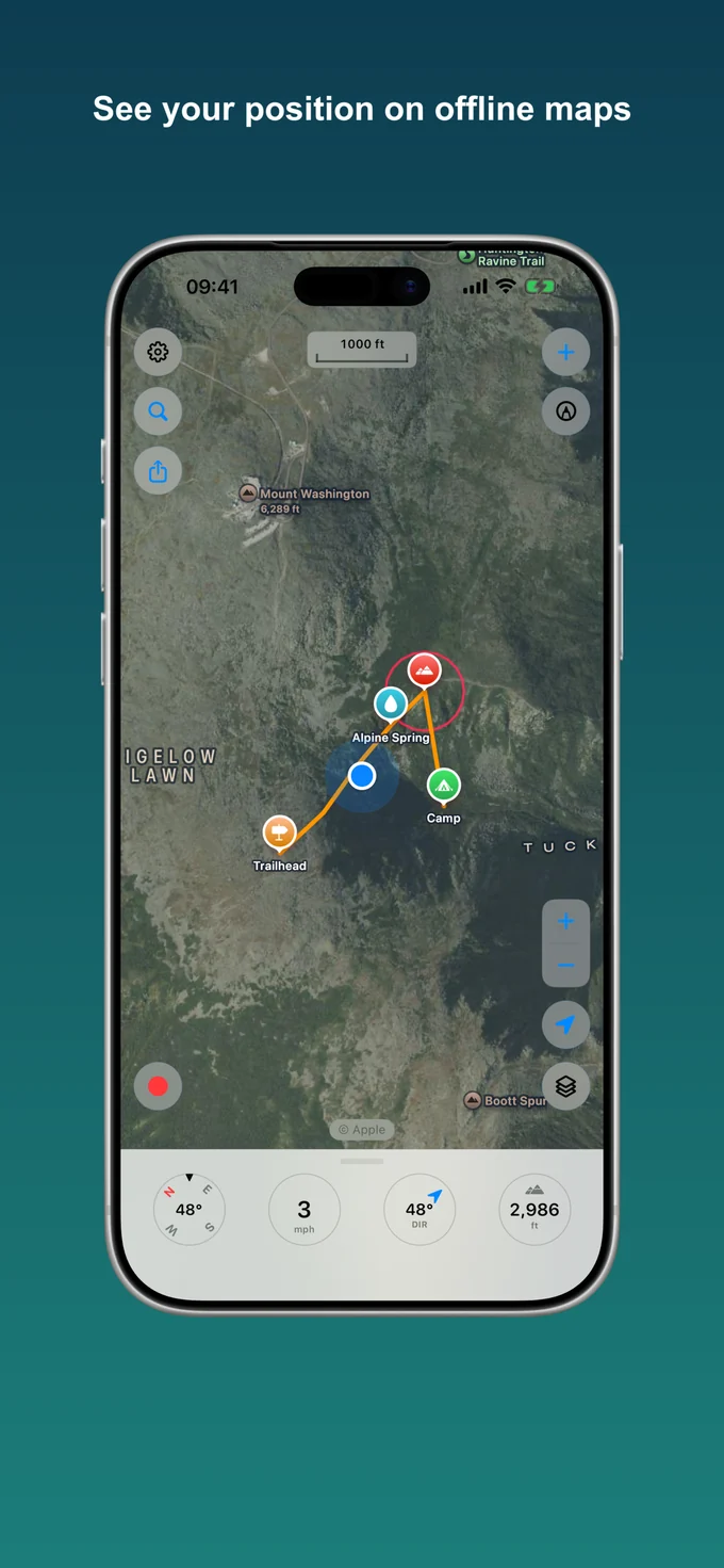
Everything for the backcountry
Topographic and satellite maps, track recording, waypoints, and navigation — all on device.
Download topo and satellite regions and keep navigating with no signal.
Apple Maps, Satellite, Hybrid, OpenStreetMap, OpenTopoMap, and USGS Topo, with optional 3D terrain.
Distance, time, speed, and elevation — recorded even with the screen off.
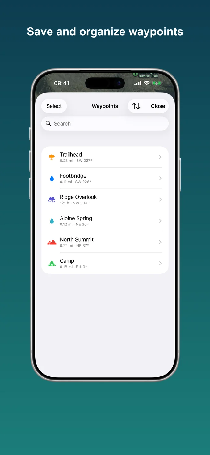
Drop, name, organize, and navigate to points, and attach photos.
Lat/long, UTM, and MGRS/USNG, with a coordinate grid drawn on the map.
Follow a compass arrow to any waypoint with distance, bearing, and ETA.
Import and export waypoints and tracks. Share a file, coordinates, or a map link.
Sketch with Apple Pencil or a finger, anchored to the ground as you pan and zoom.
Record, mark, and navigate from your wrist. Waypoints and tracks sync with iPhone.
See it in action
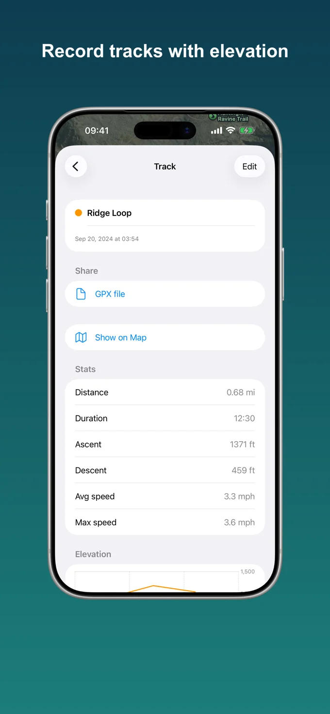 Track & elevation
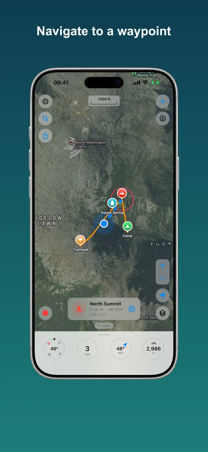 Navigate to a point
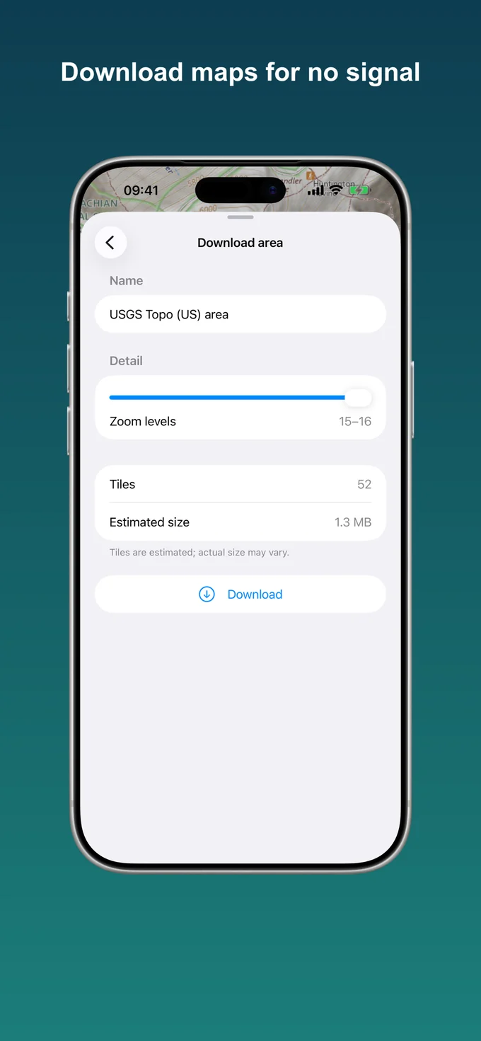 Offline downloads
 Waypoints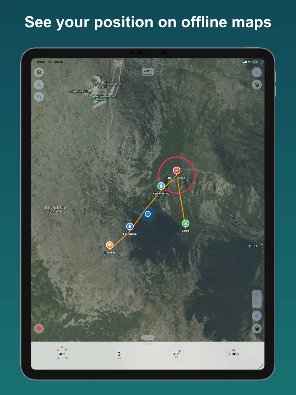
Quick start, maps, tracks, waypoints, navigation, and more.
 Trailseek