Trailseek
Overlays
Overlays draw on top of any map style. Turn on as many as you want from the layers picker.
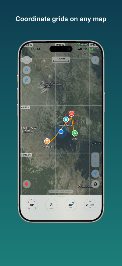
- Coordinate grid: a lat/long graticule or a UTM grid with MGRS labels. Computed on the device, so it works offline.
- Trails: hiking, cycling, and other trail networks from Waymarked Trails, based on OpenStreetMap.
- Weather radar: the latest US weather radar from NOAA and the National Weather Service. This one needs a connection and shows nothing offline or outside the United States.
Trails you have already viewed keep working offline. Weather radar is always live.