Trailseek
Maps and layers
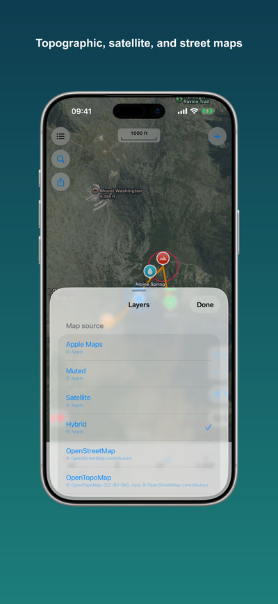
Trailseek ships with several free map styles. Tap the layers button to switch between them.
Map styles
- Apple Maps: the standard Apple street map.
- Satellite: Apple aerial imagery.
- Hybrid: satellite imagery with road and place labels.
- Muted: the standard map with muted colors, a calm backdrop for tracks and waypoints.
- OpenStreetMap: the community street map.
- OpenTopoMap: topographic contours worldwide.
- USGS Topo: US Geological Survey topographic maps, United States only.
- Blank: no basemap, just your waypoints and tracks on a plain grid.
3D terrain
Turn on the 3D terrain toggle in the layers picker to add hill relief to any Apple style (Apple Maps, Satellite, Hybrid, Muted). Tilt the map with two fingers to see it. The toggle does not apply to the other styles.
Attribution
Each map shows its required credit at the bottom of the screen. Tap the credit for the full text and license.
Working offline
Apple styles need a connection. The raster styles (OpenStreetMap, OpenTopoMap, USGS Topo) can be downloaded for offline use. See Offline maps.